Strabo Geo spatial data visualisation
Cloud-Native Geospatial Platform

Your data on the map in minutes, not months

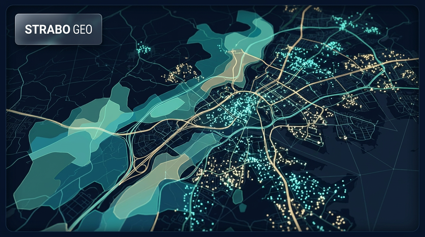
Drag and drop your shapefiles, GeoJSON, rasters, or 3D models. Strabo Geo converts, tiles, and serves your data automatically — no servers to manage, no desktop software to install. Just open your browser.

Designed for Mining & Exploration Government & Utilities Environmental Consulting
🗺️
Upload
Shapefile → vector tiles in seconds
👥
Team
8 members · 3 online now
📡
Analytics
GIS-powered queries — in browser
🛡️
Hosting
Cloud-Native GIS · your region
Scales as needed Runs entirely Cloud-Native, nothing to install or maintain
Your region Data stays in the Cloud region you choose
3 plans From small teams to enterprise
14-day Free trial, no card required

Most teams are stuck between overpriced GIS and underpowered viewers

Legacy desktop GIS costs too much and needs a specialist. Free web maps look nice but can't do real work. Your team needs something in between — powerful, affordable, and ready now.

⚖️

Legacy GIS is overkill

Six-figure licences, desktop installs, certified specialists, and months of setup — for features your team may never use.

🖥️

Free viewers can't do the job

Web maps are great for sharing a pin, but they can't handle large datasets, spatial analysis, or data you need to keep in your own region.

🔒

Data trapped on desktops

Shapefiles on laptops, KMLs in email, no single source of truth. Your team spends more time looking for data than using it.

📈

Scaling means more licences

Adding a user means buying another seat. Every new dataset means more infrastructure. Nothing grows with your team cleanly.

Platform Capabilities

Everything your team needs — nothing it doesn't

Upload your data, build maps, run analysis, and share with stakeholders. All from your browser, all Cloud-Native, No Infrastructure to maintain.

🗺️

Drag-and-Drop Data Pipeline

Drop a shapefile, GeoJSON, GeoPackage, raster, or 3D model onto the map. Strabo Geo automatically converts, tiles, and serves it — no ETL scripts, no command line.

📡

Interactive Mapping

Build interactive maps with vector tiles, aerial imagery, hillshading, contours, and 3D terrain. Style by attribute, configure pop-ups, and share with a link.

✏️

In-Browser Spatial Analytics

Query your data with Spatial Analytics running in the browser. Filter, aggregate, and analyse features across millions of rows — all client-side, with no server round-trips.

📊

AI-Powered Map Assistant

Ask questions in plain English — "show me all parcels larger than 10 hectares" — and the AI agent filters, flies to, and highlights the results on your map.

👥

Team Collaboration

Real-time team member tracking, in-app chat, role-based access, and shareable view-only links for stakeholders — no account required on their end.

🔗

Field Data Collection

Build custom forms, assign them to field teams, and collect GPS-located observations with photo attachments. Works offline — syncs when connectivity returns.

🛡️

3D & BIM Support

Drag and drop IFC, GLB, or 3D Tiles onto the map. Browser-based preview for smaller models, Cloud-Native conversion for larger files.

📱

Secure Regional Hosting

Your data stays in the Cloud region you choose — Australia, US, EU, or Asia-Pacific. Our Cloud-Native architecture means no infrastructure for you to manage or secure.

Built for Your Industry

Geospatial workflows that match how you work

⛏️

Mining & Exploration

Tenement mapping, drill hole visualisation, prospect delineation, and field data collection — upload your shapefiles and see them on the map in minutes.

Learn more →
🏛️

Government & Local Councils

Asset management, planning overlays, infrastructure mapping, and public-facing spatial portals — with data sovereignty in your region by default.

Learn more →
🌿

Environmental Consulting

Survey mapping, vegetation overlays, offset tracking, and PDF report generation — centralise your spatial data across clients and projects.

Learn more →

Utilities & Infrastructure

Network asset mapping, condition tracking, maintenance overlays, and incident mapping — without complex enterprise GIS infrastructure.

Learn more →
Why Strabo Geo

A better way to work with spatial data

Enterprise geospatial capability at SaaS speed and pricing.

Capability Desktop GIS Strabo Geo Map Embed Platforms
Deployment Desktop install + server Browser-based, Cloud-Native Developer SDK / API
Pricing model Perpetual + annual maintenance Flexible subscription Usage-based API pricing
Data upload Manual import / conversion Drag-and-drop with auto ETL Developer integration required
Spatial analysis Full (complex UI) Full — Spatial Analytics in-browser Limited or none
Data editing Full Full — draw, snap, edit None
AI assistant None Natural language map queries None
Collaboration File-share based Real-time, role-based Not applicable
3D / BIM Plugin-dependent Built-in (IFC, GLB, 3D Tiles) SDK-dependent
Regional data hosting Self-managed Your Cloud region, by default Vendor-managed
Time to first map Days to weeks Under 30 minutes Hours (developer effort)
Plans

A plan for every kind of organisation

From small exploration teams to large government departments. Talk to us about what fits your requirements.

Starter

For small teams getting started with spatial data. Core mapping, editing, and sharing in one simple workspace.

  • Drag-and-drop data upload with auto tiling
  • Interactive mapping & layer management
  • Geometry editing & export
  • Shareable view-only links
  • Up to 3 users
  • Email support
  • In-browser spatial analytics
  • AI map assistant
  • API access
Get in touch
Enterprise

Governance, compliance, and scale. Custom SLA, SSO, white-label portal, and a dedicated account team.

  • Everything in Professional
  • Custom users
  • Custom branding & white-label
  • SSO / SAML integration
  • SLA guarantee
  • Dedicated account manager
  • On-site onboarding
  • Custom integrations
Connect with us

Ready to modernise your geospatial stack?

Talk to our team about your requirements. No sales pressure — just a straight conversation about what Strabo Geo can do for you.